“Using a computer program that relies on public
consultation data provided by research centers that study the seabed -through
sonars on transatlantic ships- images of maritime landscapes can be achieved,
with a high degree of precision. I use the acquired data as a reference to draw
new landscapes, where reality and fiction merge while seabed of different
latitude overlap. The resulting image work as a kind of re-mapping of the
earth’s crust, which, being one, mocks borders and human dispositions.”
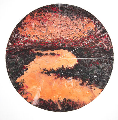
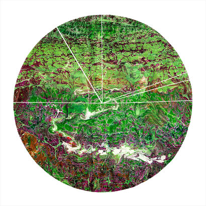
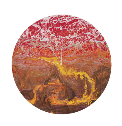
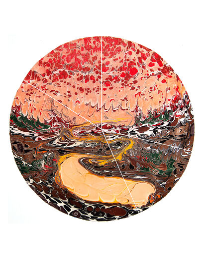
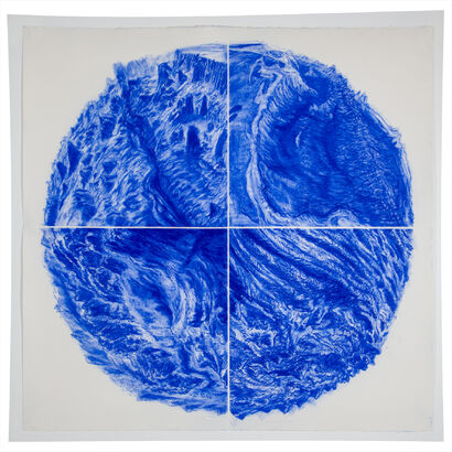
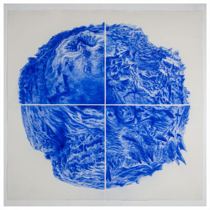
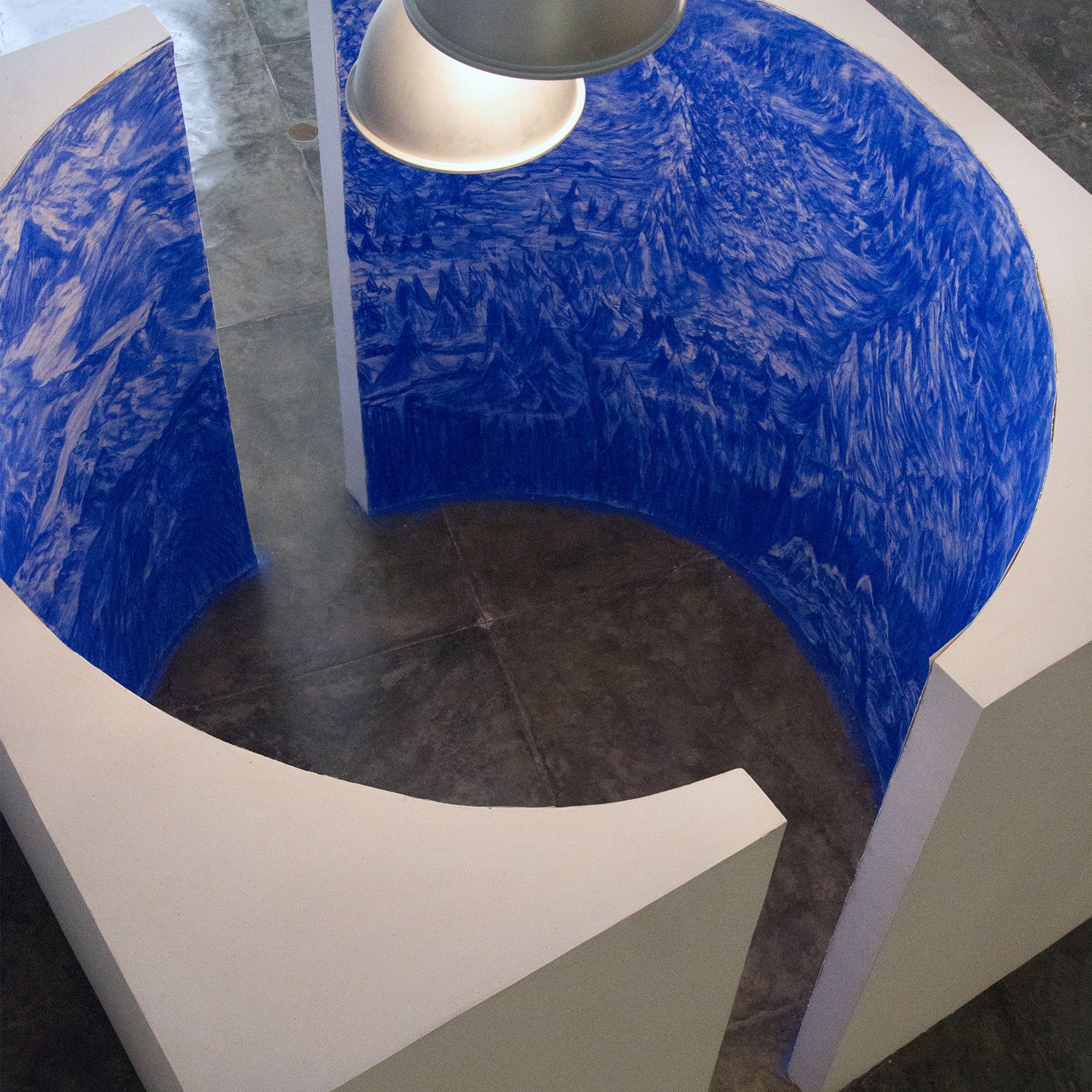
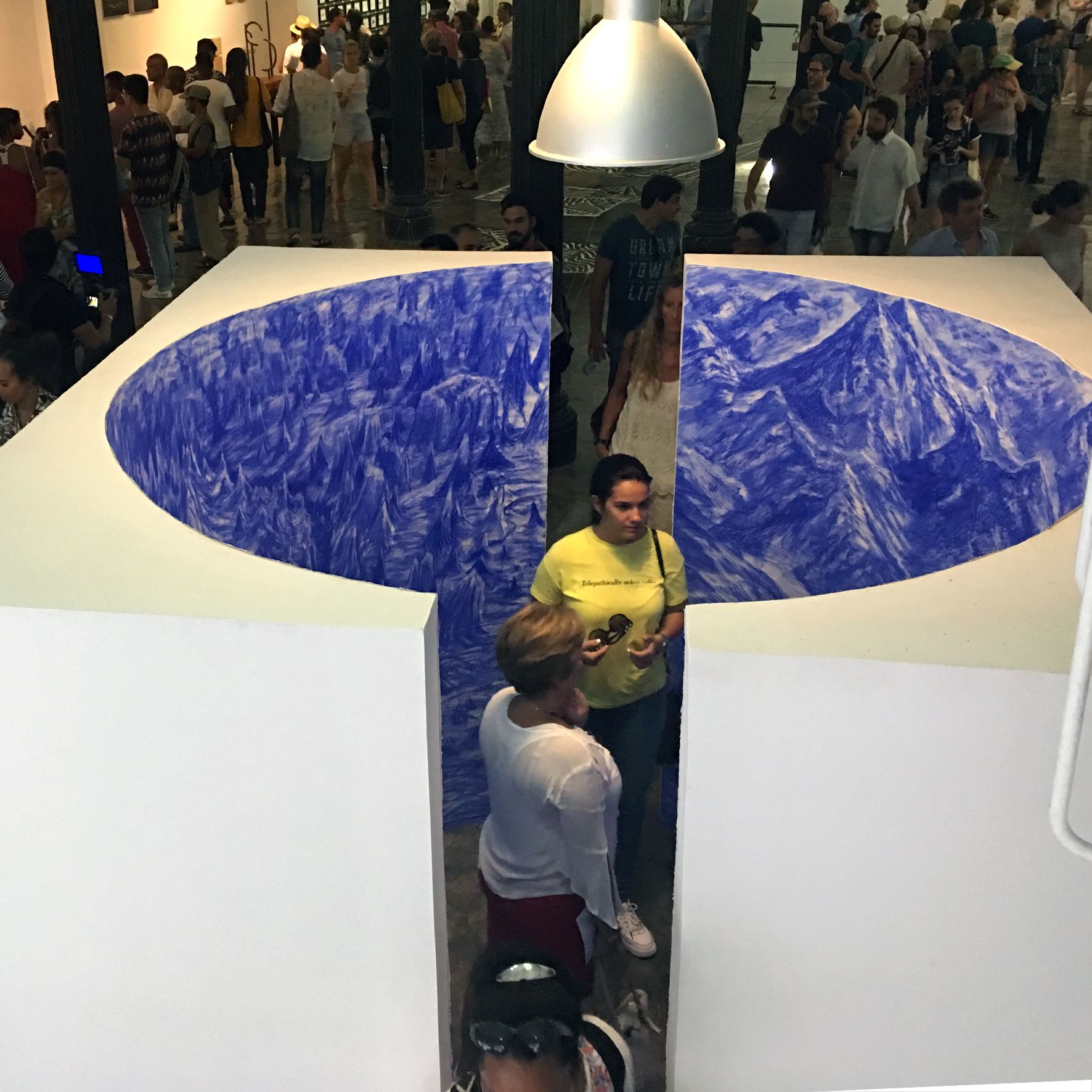
III. The bottom of the
surface
(Challenger Deep,
Marianas Trench – Mount Everest, Himalaya)
From the Immersion series
Drawing on circular structure
ø2.75m (interior)
Variable dimensions
2019