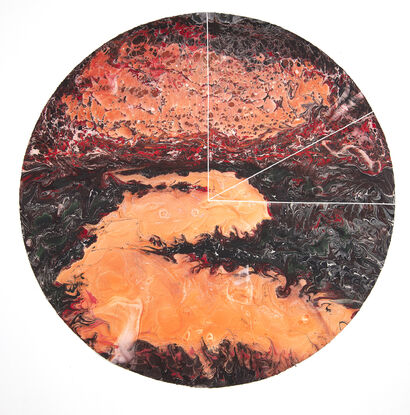
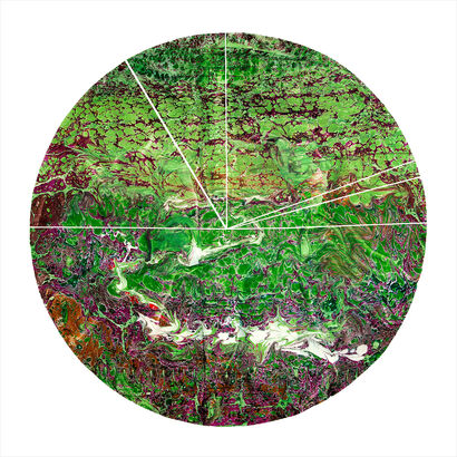
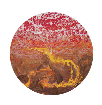
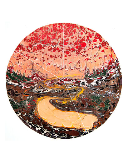
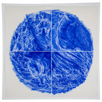
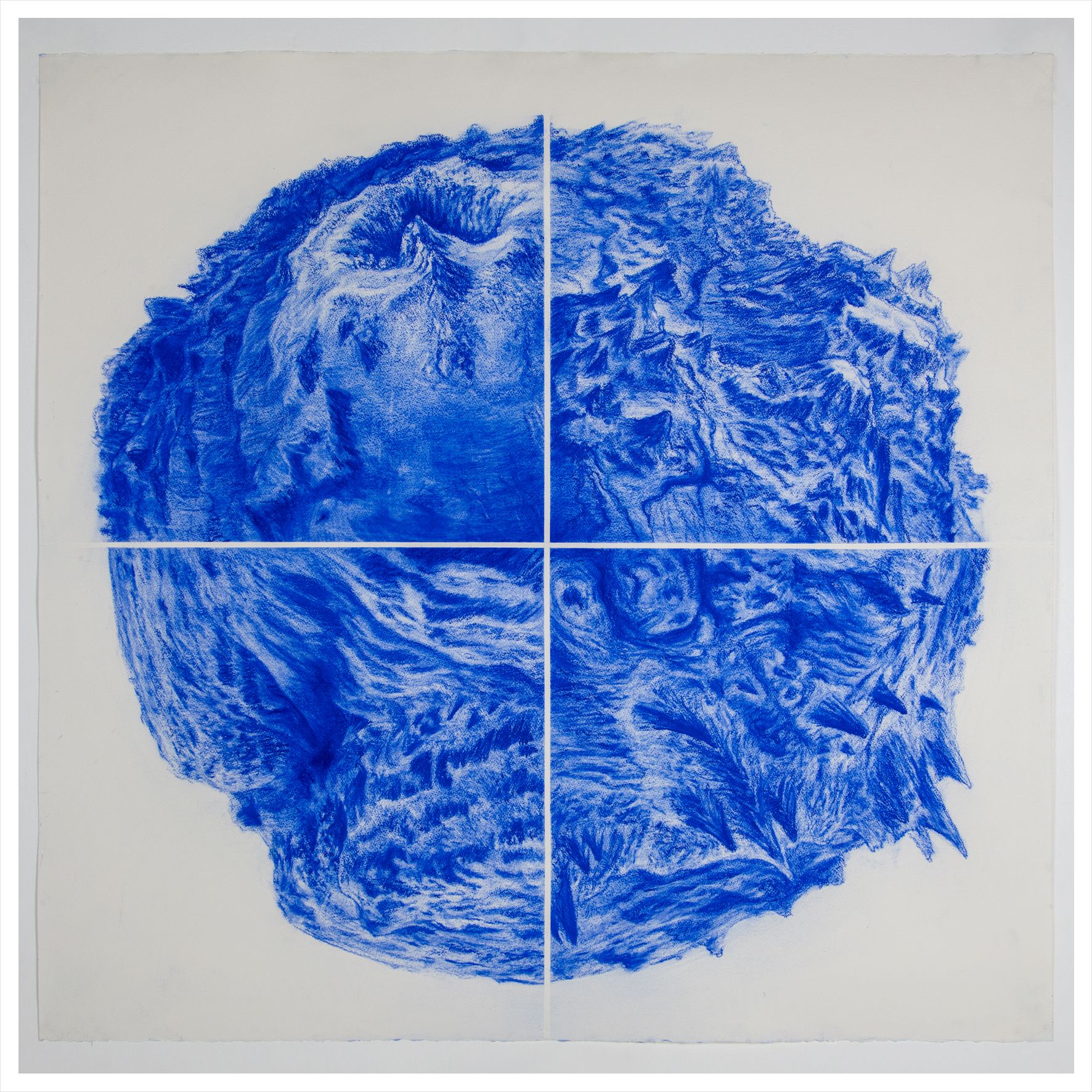
Serie Inmersión (4 océanos II)
CATEGORY
DIMENSIONS
115.00x115.00
YEAR
2021

TECHNIQUE
Drawing, soft pastel

PRICE
Not for sale
ABOUT THE WORK
Material: Arches paper, soft pastel
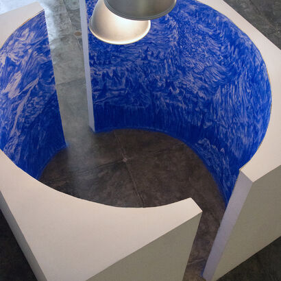
“Using a computer program that relies on public consultation data provided by research centers that study the seabed -through sonars... Read More