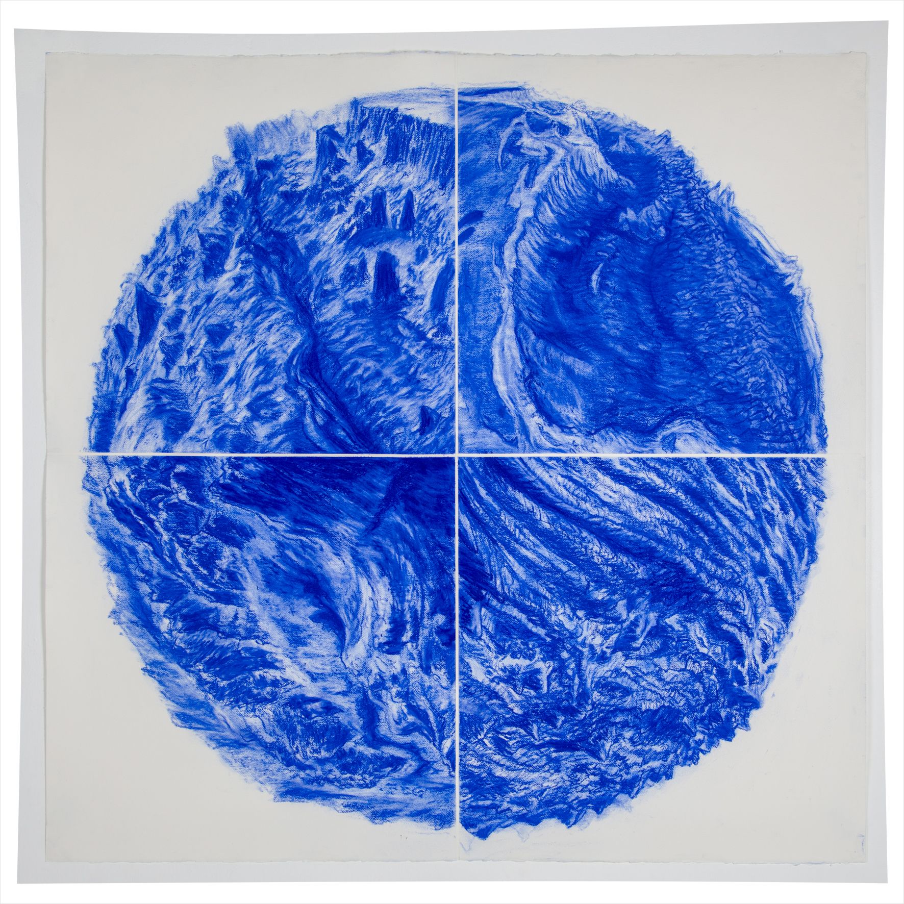
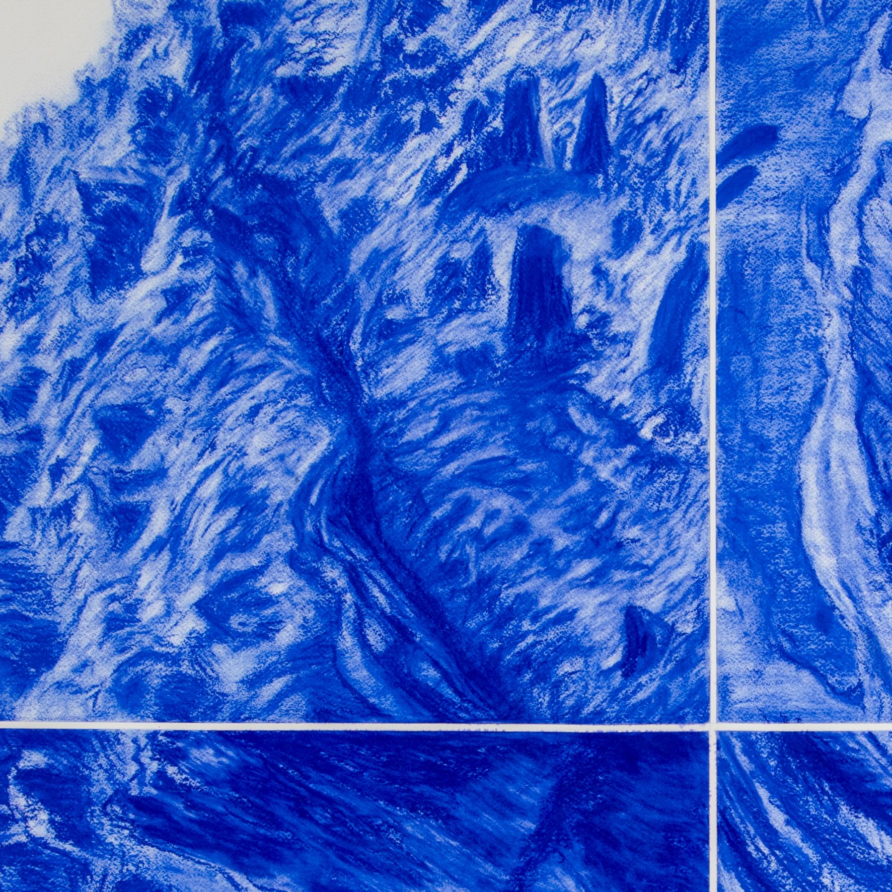
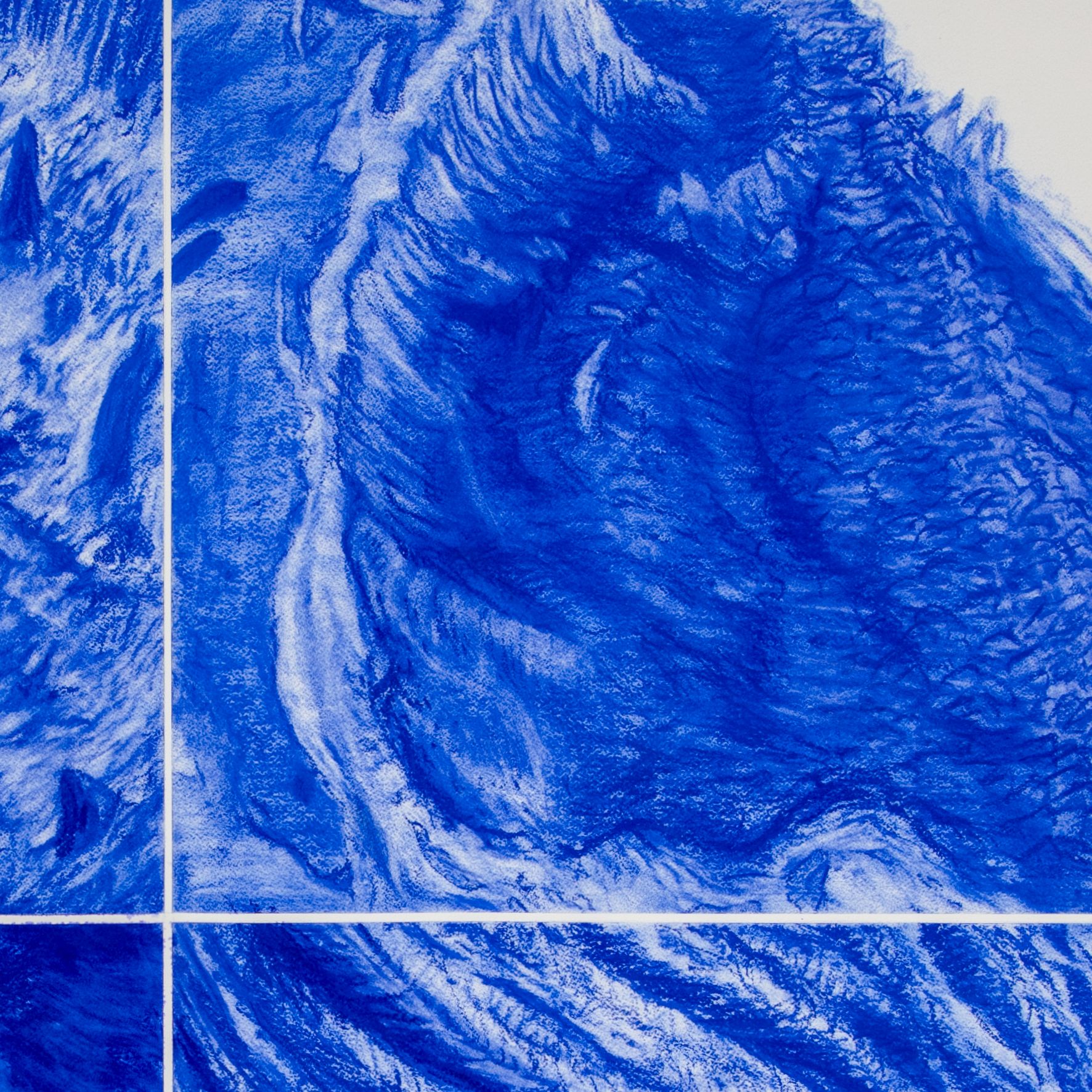
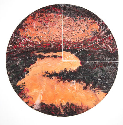
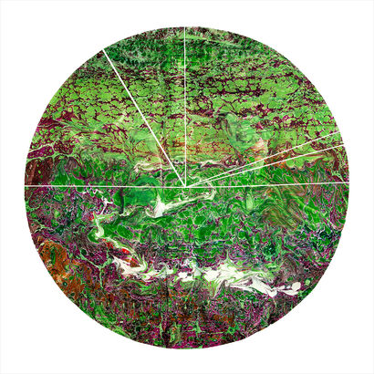
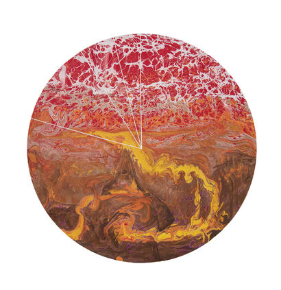
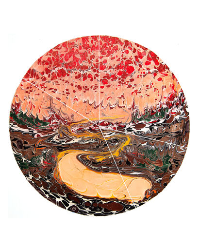
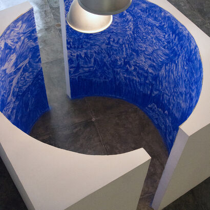
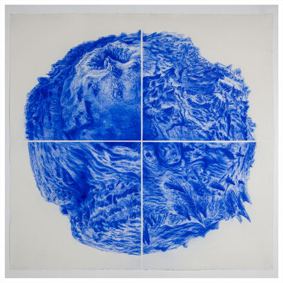
“Using a computer program that relies on public
consultation data provided by research centers that study the seabed -through
sonars on transatlantic ships- images of maritime landscapes can be achieved,
with a high degree of precision. I use the acquired data as a reference to draw
new landscapes, where reality and fiction merge while seabed of different
latitude overlap. The resulting image work as a kind of re-mapping of the
earth’s crust, which, being one, mocks borders and human dispositions.”