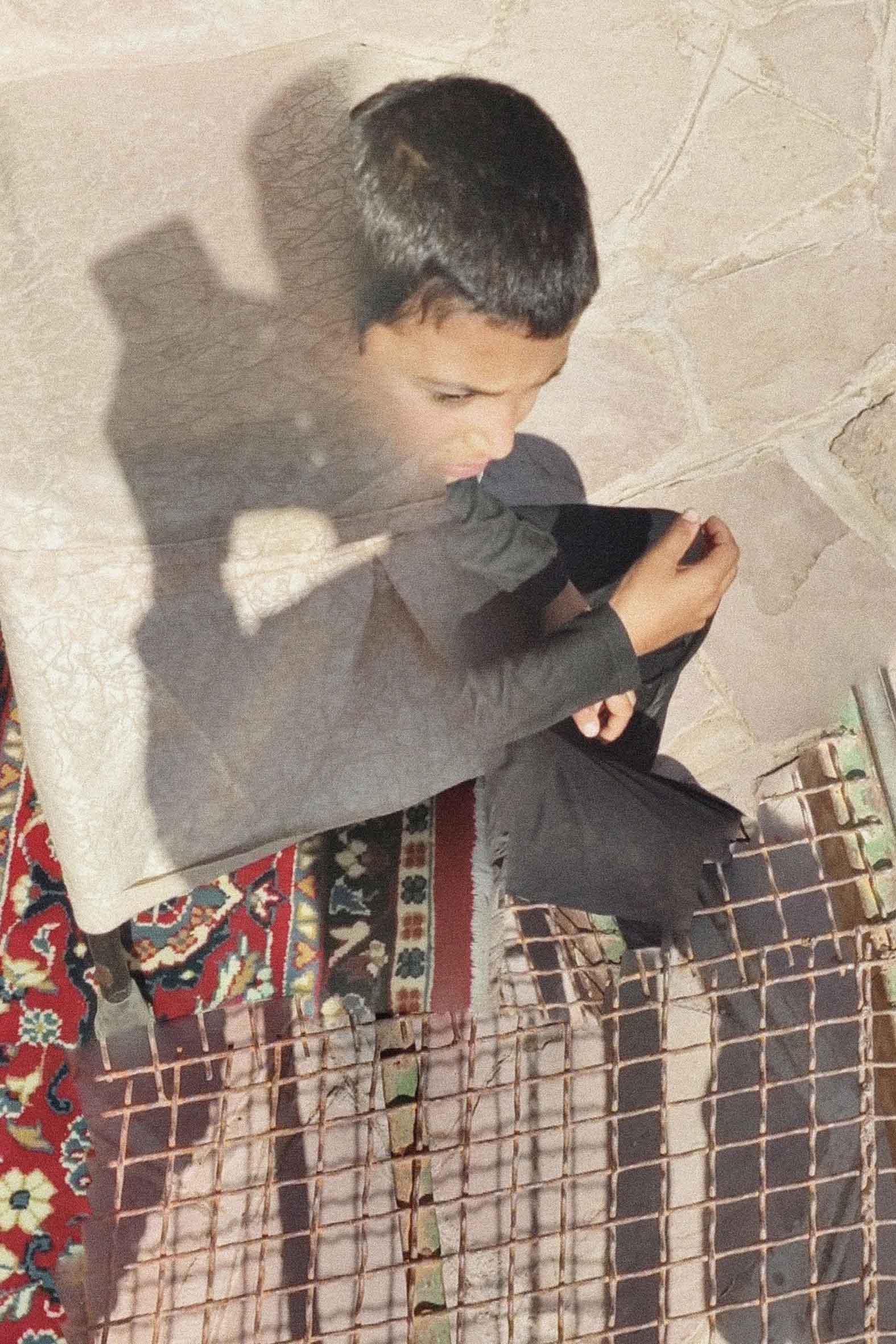
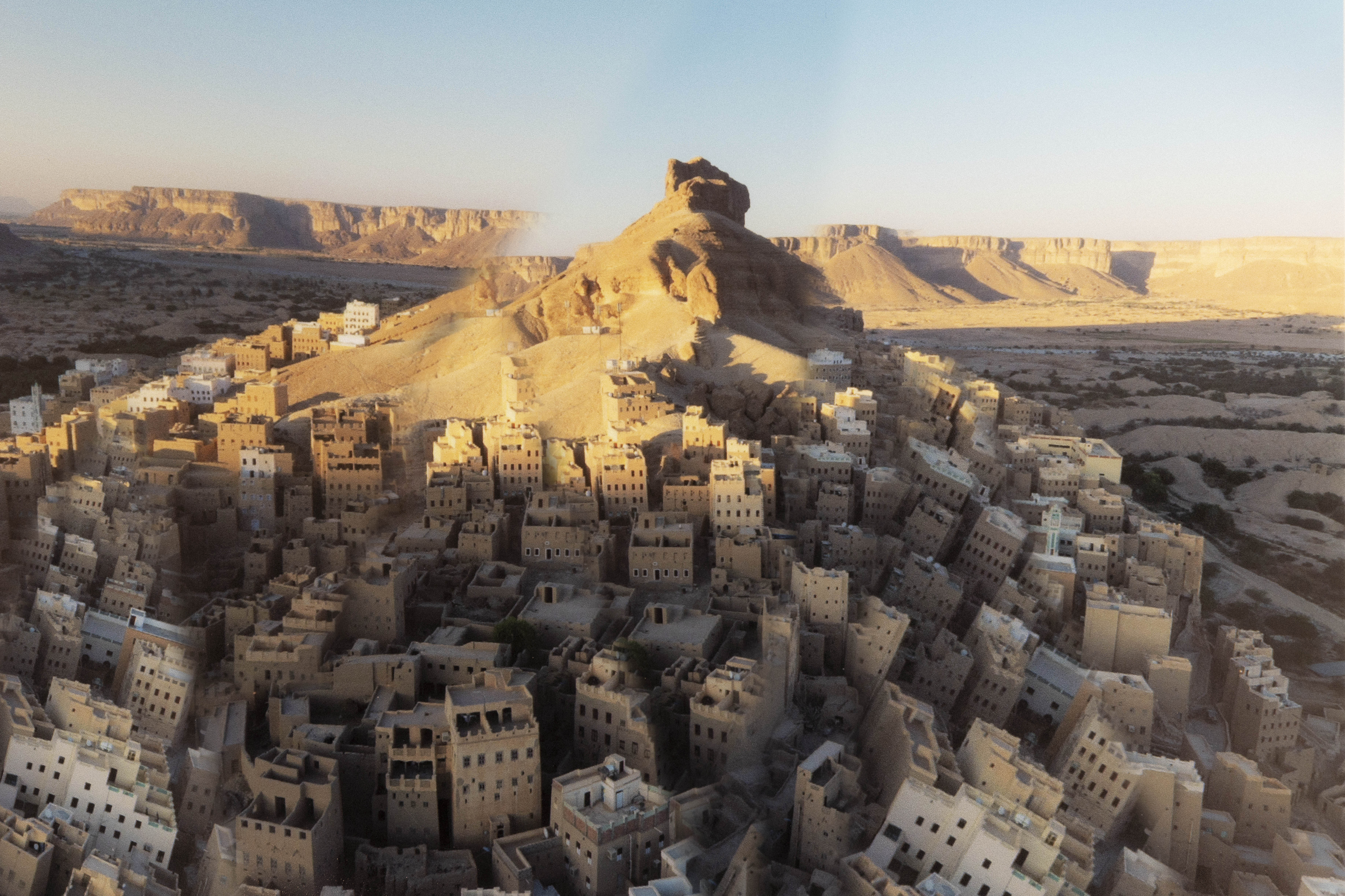
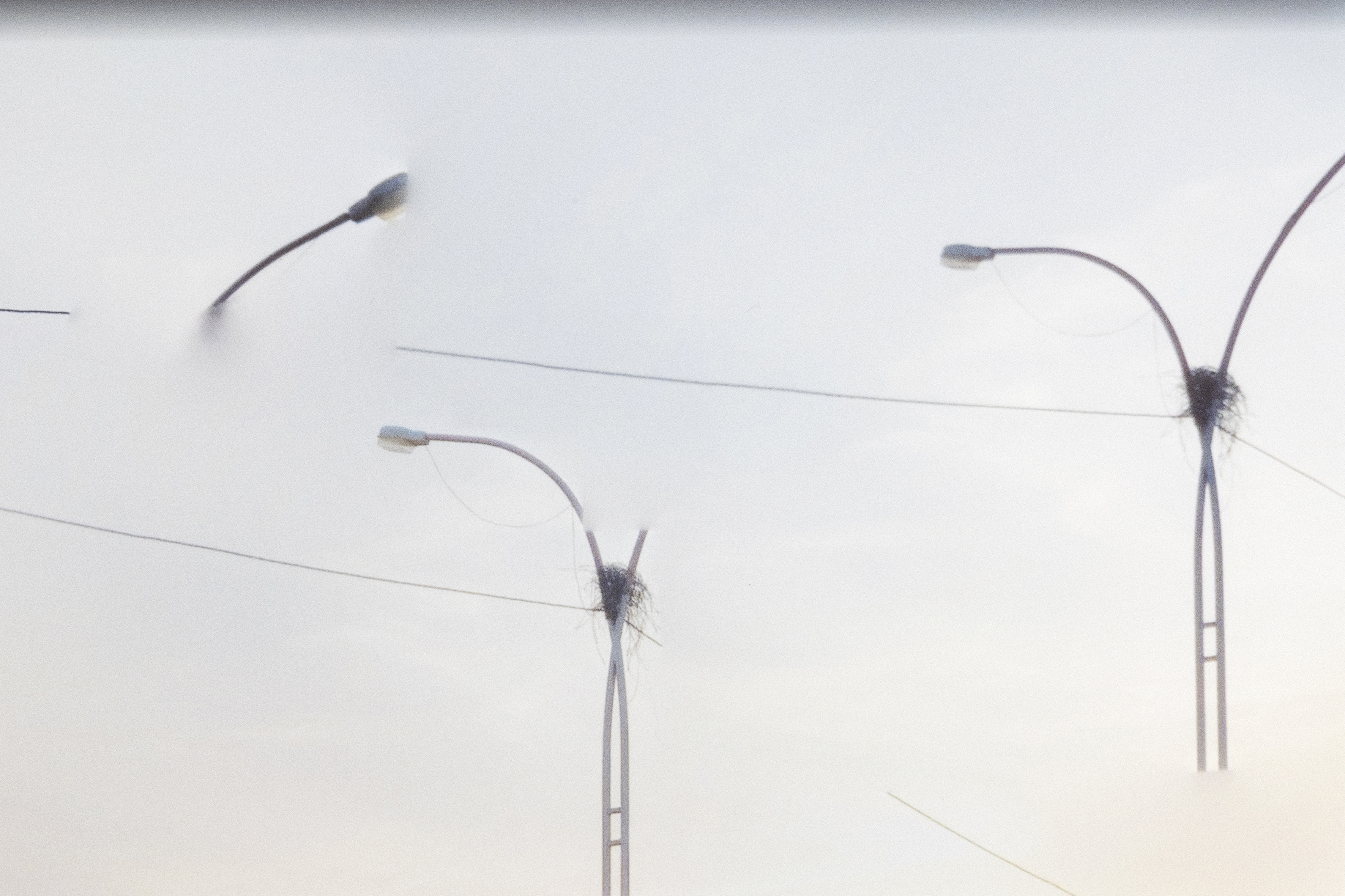
Unable to travel to or directly document territories currently marked by armed conflict, I chose to navigate them virtually, using images from Google Earth to create the series Human Power.
Google Earth’s photographic system — composed of 12–15 cameras shooting simultaneously — produces a 360-degree view that appears total, seemingly objective. Yet it is precisely in the space between one camera and another that my interest lies: an error, a fracture within the image, a distortion.
Within these almost imperceptible discontinuities, a broader metaphor emerges. From war zones to the Western world, what reaches us is often an altered vision: information filtered and warped by the political spectrum, where the objective perception of events and reality is constantly manipulated.
The technical error thus becomes a human error. The imperfect stitching of the image mirrors the imperfect stitching of the narrative.
When the war is over and we are able to return to those places, what will remain will not only be visible destruction, but also the trace of that error: a fracture produced by human power, inscribed in both the landscape and our way of seeing.